Time-lapse construction of the Old 300 Solar Project using satellite imagery
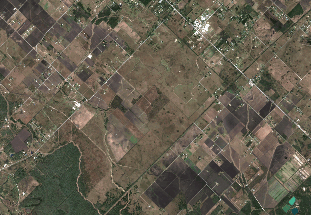
Utilized the Semi-Automatic Classification Plugin in QGIS to capture and interpret satellite imagery from the Sentinel-2 satellite, resulting in a time-lapse of the construction of the Old 300 solar project in Texas over several months.
Stitched together multiple satellite images captured over time to create a time-lapse GIF of the construction progress, allowing for a visual representation of the project's development over time.
Organized the satellite bands in the correct order and built a virtual raster in QGIS to accurately interpret the satellite imagery, demonstrating proficiency in geospatial data processing and computer vision.
Undertook this project to learn more about time-lapse imagery, change detection, and geospatial data processing, while also gaining insights into the time it takes to build a solar project.
Showcased the value of satellite imagery and computer vision in monitoring and documenting the construction progress of solar projects, enabling stakeholders to better understand the timeline and completion of these projects.
Concluded that while the Old 300 solar project construction began in early 2021 and is nearly complete, the most recent image shows that construction is still ongoing, highlighting the importance of regularly monitoring the progress of renewable energy projects.