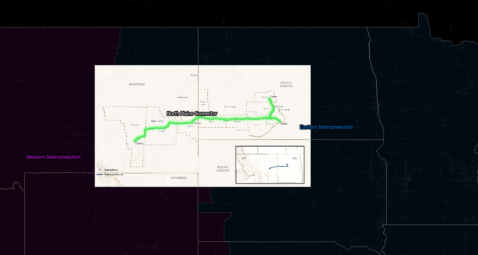
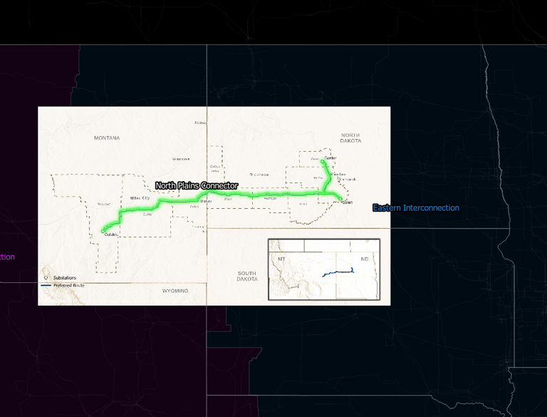
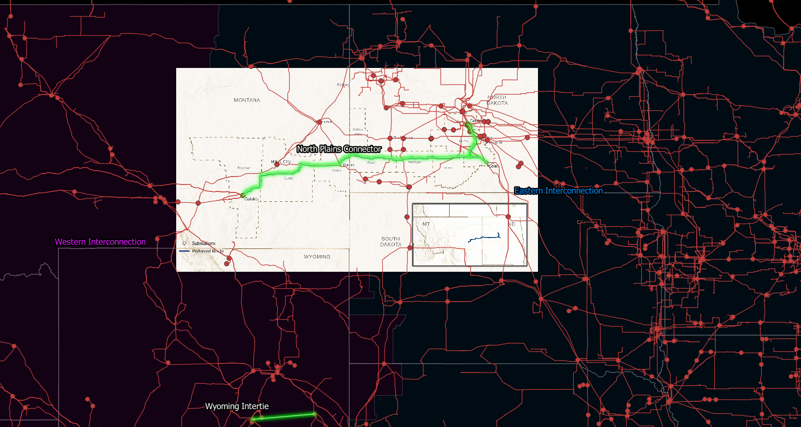
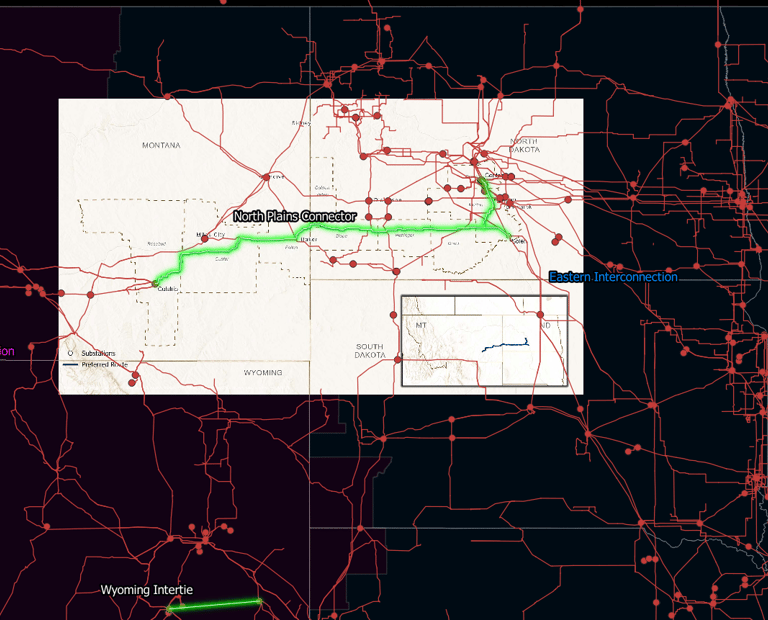
Mapping Grid United's planned HVDC projects
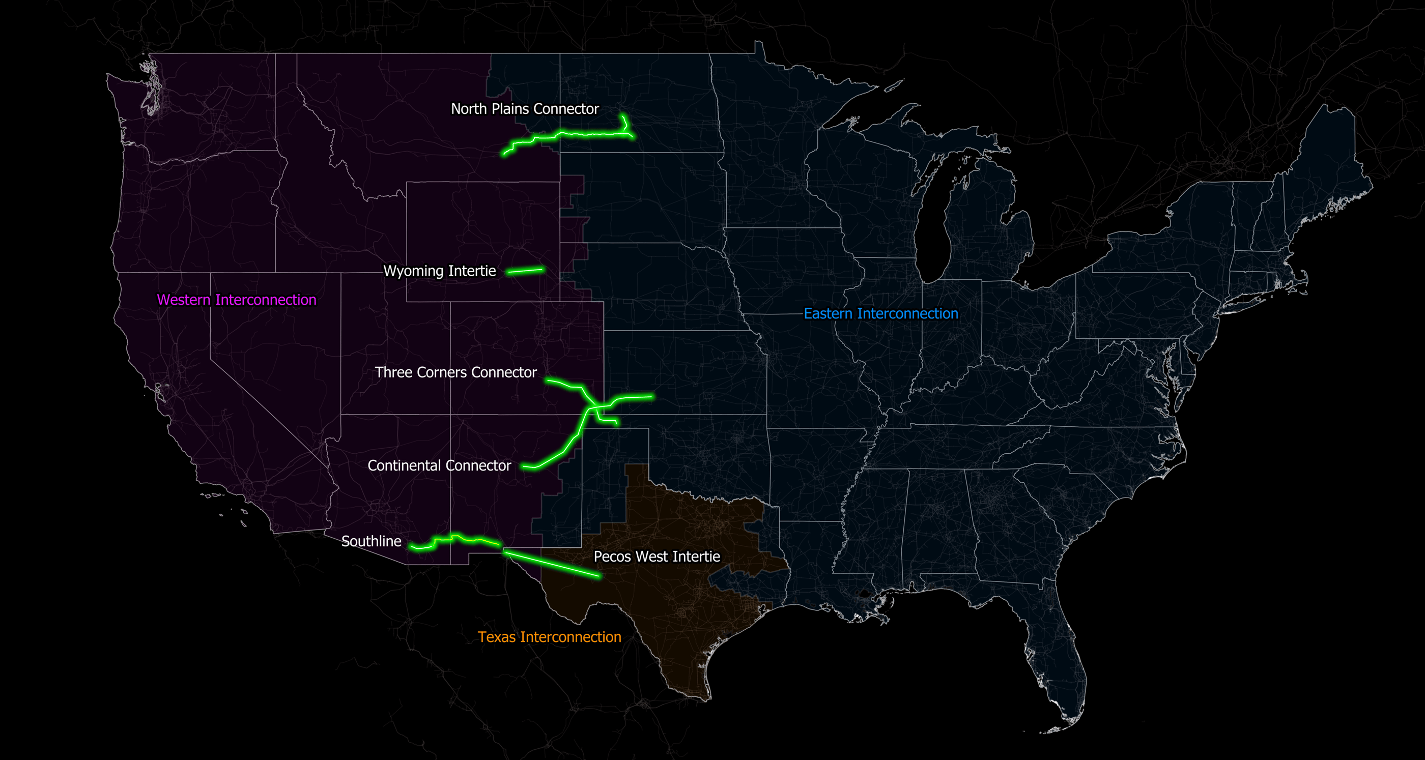
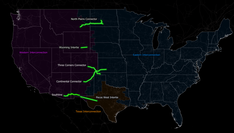
Source: Grid United
Created a comprehensive map displaying Grid United's planned HVDC projects using georeferencing in QGIS.
Downloaded images of Grid United's planned project routes / corridors from their various project websites and regulatory filings.
Georeferenced the downloaded images using QGIS to align them with real-world coordinates and ensure spatial accuracy.
Added power infrastructure data, such as existing transmission lines and substations, to the georeferenced images.
Aligned the project routes precisely with the existing substations to demonstrate the interconnections between the planned HVDC lines and the current power infrastructure.
Added boundaries for the Western, Eastern and Texas Interconnections to highlight the importance of these projects connecting various parts of the US power grid.